NE Athabasca Basin
Murphy Lake
Key Points of Interest
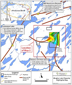
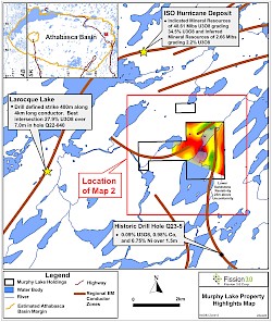
- The Murphy Lake Property is located 30 km northwest of Orano’s McLean Lake deposits, 5 km south of ISOEnergy’s Hurricane Uranium Deposit and 4 km east of Cameco’s La Rocque Lake Uranium Zone where drill hole Q22-040 intersected 27.9% U3O8 over 7.0m.
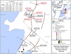
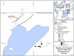
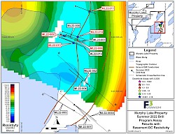
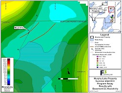
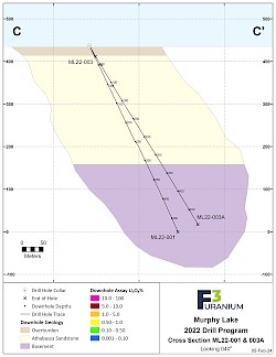
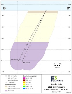
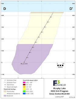
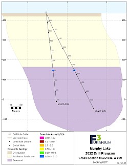
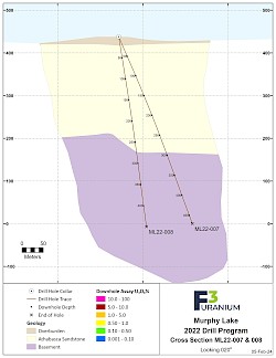
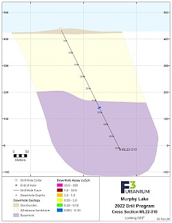
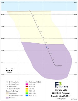
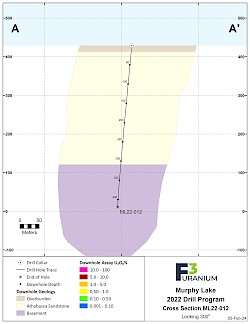
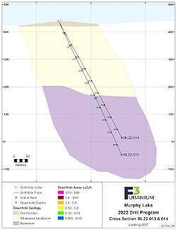
- The maiden drill program at Murphy Lake was concluded in late September of 2022, and consisted of 14 completed drillholes totaling 6,850m. It was designed to follow a north-south conductor trend where Cameco intersected uranium values up to 0.08% U3O8 in historic drill hole Q23-5 (see Regional Map below). Early scintillometer results from F3 drill hole ML22-006, drilled 4.2 km north of the historic Cameco hole, intersected a 2.0m interval of anomalous and variable radioactivity including a 0.5m interval of up to 2,300 cps over 0.5m (see News Release August 10, 2022). The anomalous radioactivity was confirmed with assays of 0.242% U3O8 within a 2.5m interval of 0.065% U3O8. Anomalous uranium was intersected in 4 other drill holes with maximum assays of 0.036% U3O8 over 0.5m, resulting in basement uranium mineralization being encountered along a strike length of 330m between drill holes ML22-011 and ML22-13 (see Assay Results Map below which includes assay table) and associated with graphitic and sulphide rich shear zones in an area overlain by approximately 260m of Athabasca Sandstone. (see plan maps and sections below).
-
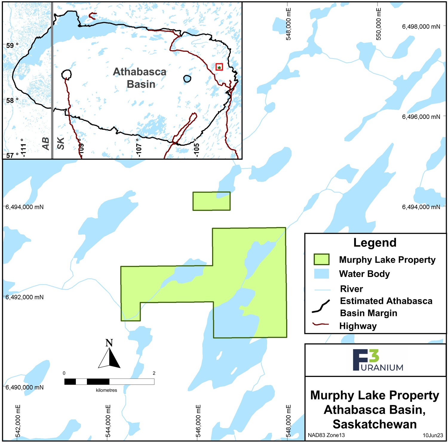
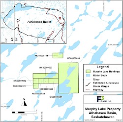
The Murphy Lake Property comprises 8 claims, within two claim blocks, totaling 609 hectares located within the eastern edge of the Athabasca Basin, Saskatchewan. F3 Uranium Corp. holds 100% ownership of the property. All of the claims were acquired by staking in December 2017.
Qualified Person: The technical information in this website has been prepared in accordance with the Canadian regulatory requirements set out in National Instrument 43-101 and reviewed by Raymond Ashley, P.Geo., for F3 Uranium Corp., a Qualified Person.


