Key Lake Road Projects
Lazy Edward Bay
Key Points of Interest
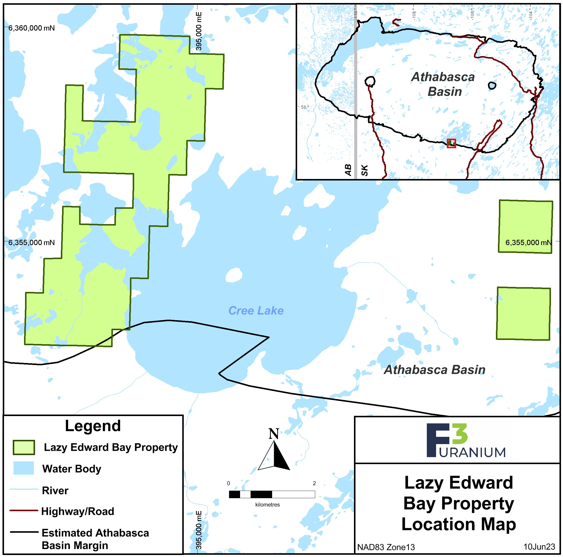
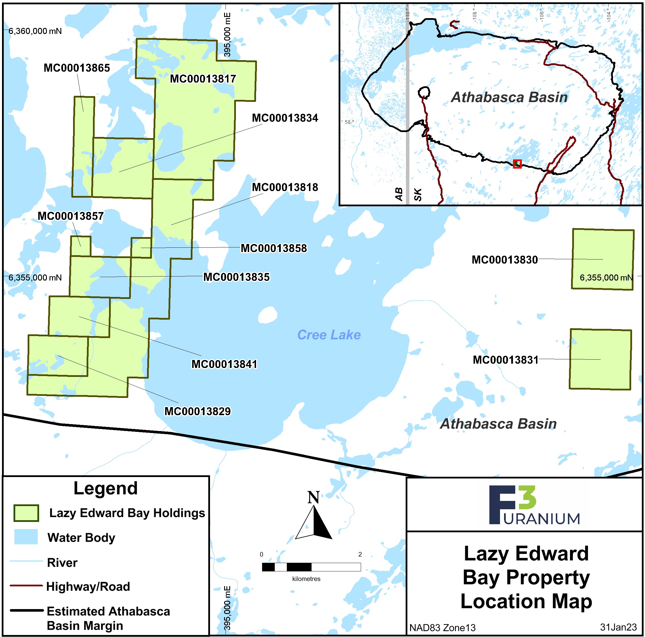
The Lazy Edward Bay Property comprises 11 mineral claims with an area of 1,827.9 ha. This property is located over shallow sandstone cover approximately 12.5 km east of the Cable Bay Shear Zone in the southeastern Athabasca Basin. The west portion of the property captures most of the Ponderosa conductive trend, along with historic drill holes LE-072 and LE-073 that respectively encountered 170 ppm uranium in brecciated and sheared gneiss, and 40 ppm uranium along with 550 ppm boron within sandstone fault gouge. Claims in the eastern portion of the property cover part of the Liberty conductive trend, with nearby historic drill hole LE-001 intersecting 224 U3O8 over 0.5 metres.


